AREAS DECISION SUPPORT
Until a few years ago the connection between geographic information and decision-making consisted primarily in reaching conclusions based on static data analysis. Today's sensing and continuous update possibilities confer geographic information a special role - that of providing a strong support for achoring decisions in a dynamic and rich context.
KEY FEATURES Geographic information, as it is available today, is drastically changing decision-making activities through two key features:
- The availability of geographic information on a continuous rather than on a historical basis provides a temporal perspective for decision-making, and
- The diversity of information aspects related to a location or area provides the opportunity to synthesize and infer a deeper meaning regarding processes and developments, and thus to take decisions on higher-order facts than was previously possible.
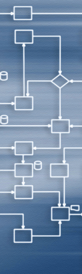
INTELLIGENT CAPABILITIES In this context, Geontics supports customers in scoping, designing and implementing several key capabilities for developing decision-support functionality enhanced with geographic information:
- Support for relational and semantic analysis between entities in a geographic environment,
- Interfacing of knowledge-based software components with geographic information to synthesize high-value information for decision-support,
- Spatial/temporal geographic data mining for knowledge extraction, and
- Integration of optimisation software components with geographic data and information
EXPERIENCE Our experience in integrating advanced decision-support capabilities with geospatial information includes:
- Integrating inference systems with Geographic Information Systems (GIS) to detect the occurrence of relevant events
- Planning courses of action in response to situations assessed based on information extracted from a GIS
- Configuring user interfaces and information streaming based on situations embedded in a geographic environment
- Planning logistic activities in response to geographically distributed information updates